El Nino weather pattern to continue through winter months
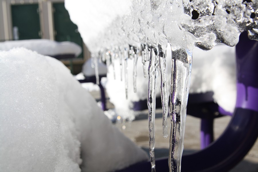
Ice blankets the campus in January 2015.
The Texas Panhandle has seen its fair share of heavy rain and flooding this spring and summer, and even a few damaging storms and tornadoes. All this active weather can only lead residents to wonder, what will the winter look like?
Since Jan. 1, the area has seen 28.71 inches of rainfall. According to the National Weather Service’s daily climate report, rainfall is nearly 13 inches above the amount at the same time last year and almost 16 inches above the normal value for this time of year.
“Due to the very active El Nino pattern, this winter we are expecting above normal chances for precipitation,” Jose Garcia, Meteorologist in Charge at the National Weather Service office in Amarillo, said. “Climate outlooks also indicate temperatures will be below normal during the winter season as well. With that said, we could see a pretty good chance of snow or wintery type of precipitation, such as ice, this winter.”
In addition to above-normal rainfall, severe thunderstorms struck as well, some bringing large hail the size of baseballs and several tornadoes across the panhandle. Two storms that struck Amarillo and Canyon had winds exceeding 90 miles per hour. Therefore area residents are also left to wonder if strong winter storms will come along as well.
“It’s hard to link El Nino to the strength of storms,” Garcia said. “Based on climatology, I think you could still see 3-4 strong winter storms through the winter. That means snowfall of greater than 6 inches for any one event. I never count out the odd blizzard in our region as well.”
While there is not enough information to tell whether or not an event like the 2013 blizzard will occur again, outlooks are in fact showing above-normal precipitation amounts and below-normal temperature values. This calls for a rather cold and icy winter to come.

Hi! My name is Evan Walton, and I am stoked to write for The Eagle's Tale for my second year. I am a senior this year, and would like to study meteorology after high school. Most of my time is spent swimming, listening to music and writing. I have a burning...


